
JACKSONVILLE
BRITT TRAILS
Around the Britt Festival Gardens there is a series of sixteen trails that intersect with each other. From the easiest, flat trails to steep and strenuous hike there is something for every capability.
See the full Jacksonville Woodland Trails map.
BEEKMAN WOODS ARBORETUM
Beekman Loop & California Trail
Jacksonville, Oregon MAP
KID-FRIENDLY | STROLLER-FRIENDLY
1.5 Mile | Loop | Easy | No bathrooms
One of the easiest loops to take kids on it is only a mile to a mile and a half long, even the steep part is for such a short part our two year old had no problem. You can also leng Perfect for a quick hike on any day, it is on the north side of Jacksonville so it is the closest hike to Medford making it nice and convenient and you get a beautiful view of Jacksonville on the south side of the trail.

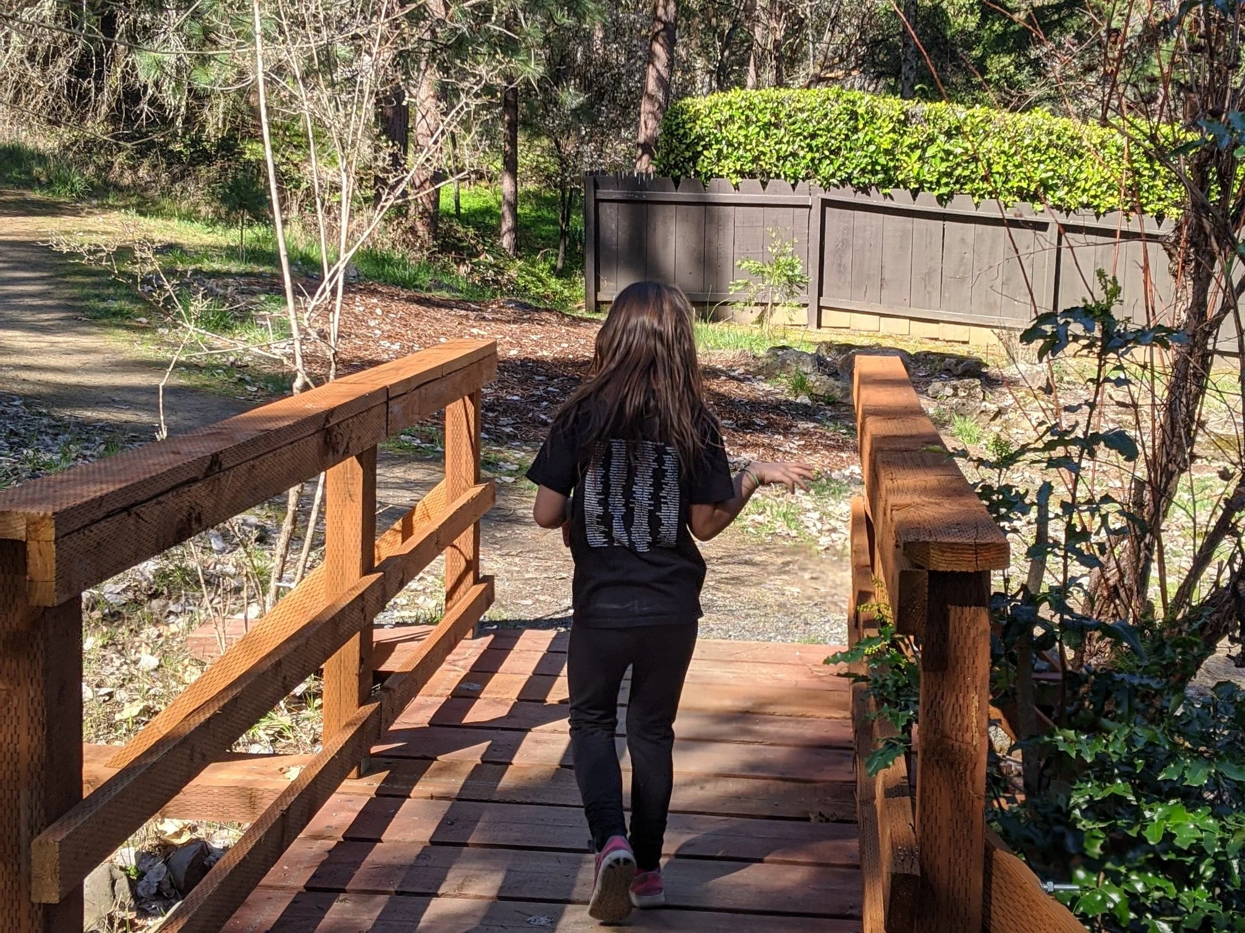
BRITT TRAILS - Sarah Zigler Interpretive Trail
Jacksonville, Oregon MAP
VERY KID-FRIENDLY
1.6 Mile | Out and Back | Easy to Moderate | Bathrooms
Fun trail with interpretive signs along the way. There are two trail heads; one that starts at Peter Britt Gardens and then one that starts off hwy. 238 about a 1/4 mile up from downtown Jacksonville. The trail takes you parallel to Jackson Creek and takes you across two bridges. We like to park at the Jacksonville Library and then take the trail across the highway that starts to your right, right below Britt Gardens.

QUARRY TRAIL to CATHOLIC WAGON TRAIL at the Jacksonville Cemetery
Jacksonville, Oregon MAP
KID-FRIENDLY
1.5 Mile loop | Easy | Bathrooms by the Library
This is a super hike for kids! A gently rolling trail takes you around the cemetery and through it to get back to your car. The start of the hike has a couple of places where it is a little steep so be cautious with kids. Make sure to turn around a get a stunning view of Jacksonville! Also, when your are walking through the cemetery and be respectful of those laid to rest. It’s a great walk through to learn about some of our history here in southern Oregon.
For parking, we park in the lot across the bridge from the Jacksonville library, and go through the gate, then up the hill that take you to the cemetery. The trail is on your immediate left when you get to the top of the hill.

FOREST PARK
Jacksonville, Oregon MAP
Many trails at varying lengths | Easy to Difficult | Bathrooms by parking area 2
A network of trails that has four parking areas used by hikers, runners, and mountain bikers! If you have little ones the best place to start is the Jackson Creek Wetlands where there is an interpretive trail that takes you over bridges and through forests, and tons of wildflowers and birds!
EAST APPLEGATE RIDGE TRAIL
Jacksonville, Oregon MAP
Kid-Friendly
Moderate to Difficult | 10 Mile Out and Back | Dogs on leash | No Bathroom
Moderate to Difficult hike if you do the whole hike. There are two trailheads on off of highway 238 and the other off of Sterling Creek Rd. If you want an easier hike you will want to start from the Sterling Creek Rd. trailhead where it is rolling for the first mile, then you start hiking down a steep area that takes you into dense forest. Coming back it is very steep so plan accordingly. This is a favorite trail for runners!
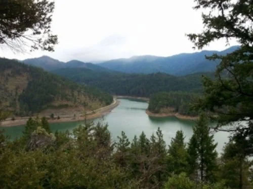
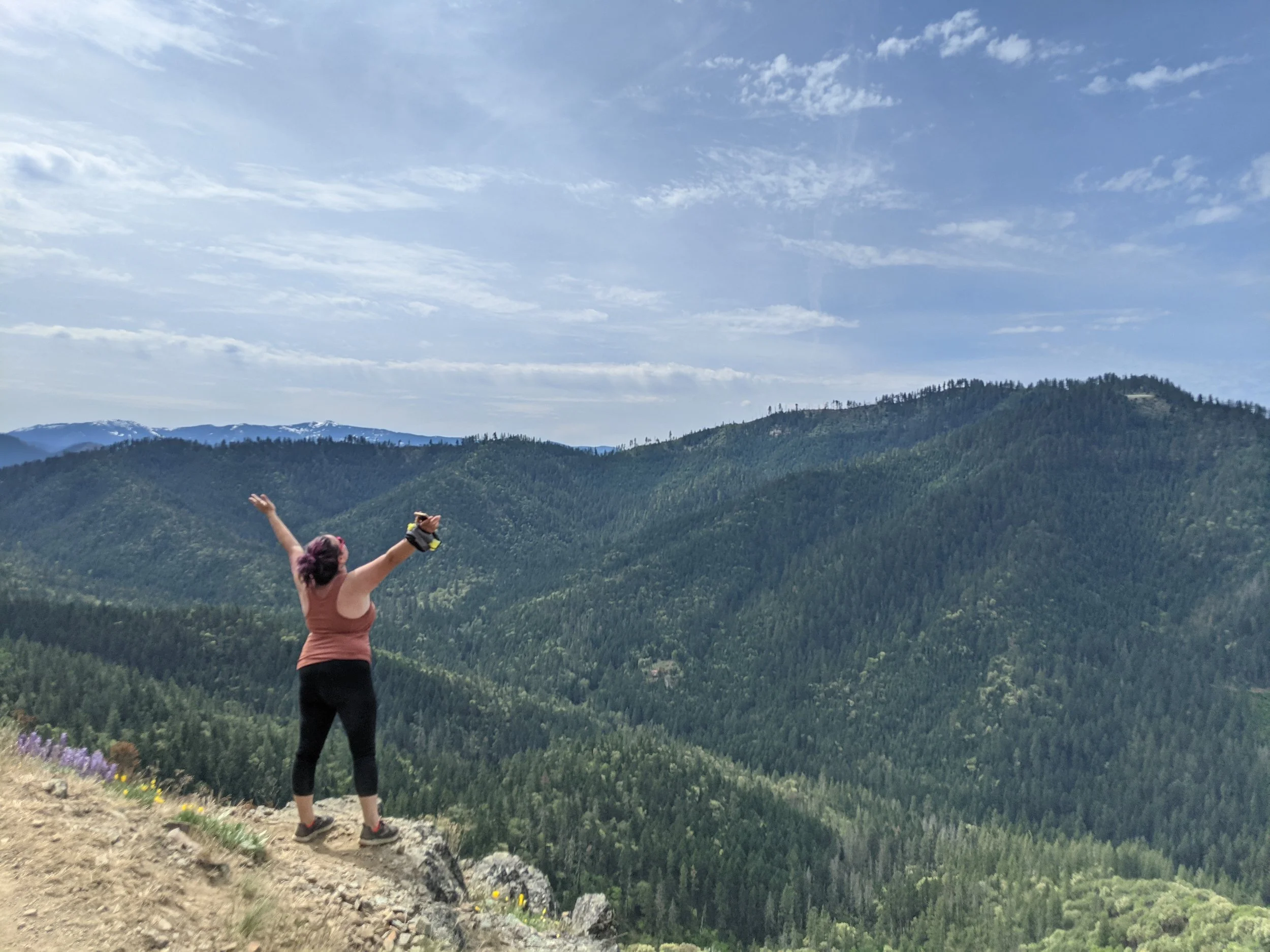
GROUSE LOOP TRAIL
Jacksonville, Oregon MAP
KID-FRIENDLY with caution in spots | ALL_TERRAIN STROLLER FRIENDLY
Easy to moderate hike | 4 mile loop | No dogs | No Bathroom
A fairly easy hike there are some spots where there is a steep drop off and where the incline is pretty steep. It is a four mile loop so if you just want to catch the view of Applegate lake take the trail to the right and about 1/4 mile you can catch a beautiful view otherwise if you go all of the way around you walk through some old growth forest and you see some wildflowers here and there.
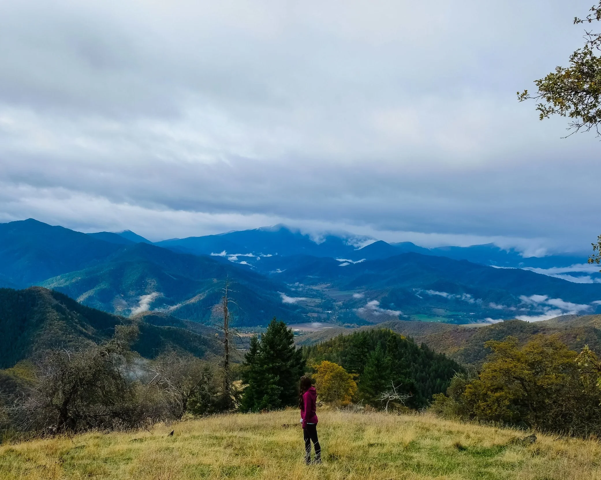
ISABELLE MOUNTAIN, Sundown Trail
Jacksonville, Oregon MAP
KID-FRIENDLY
Moderate | 3 Miles Out and Back | No Bathrooms
This hike is fairly easy to get to the viewpoint with a steady climb all of the way. If you go to the left or right you can catch a different perspective and the trails seem to go on, but we haven’t ventured out in that direction.

STERLING MINE DITCH, Bear Gulch Trail